
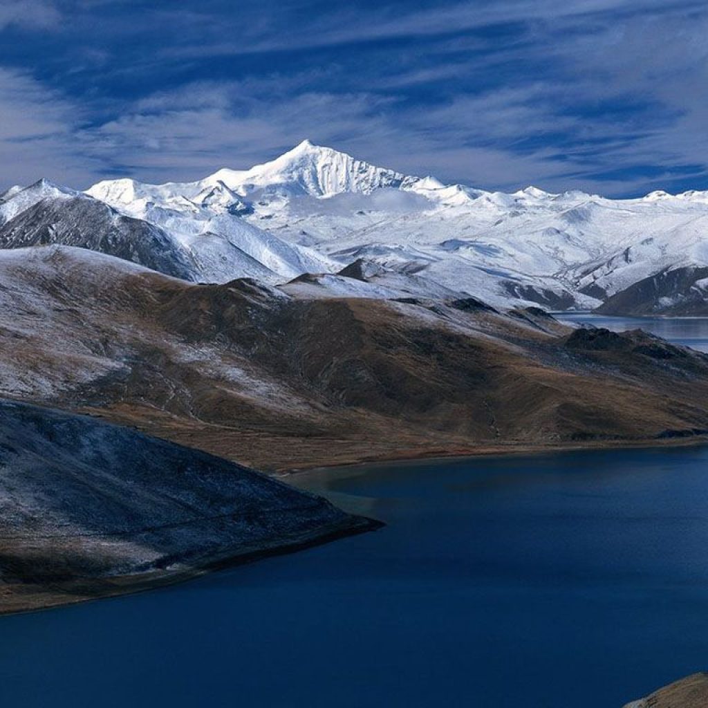
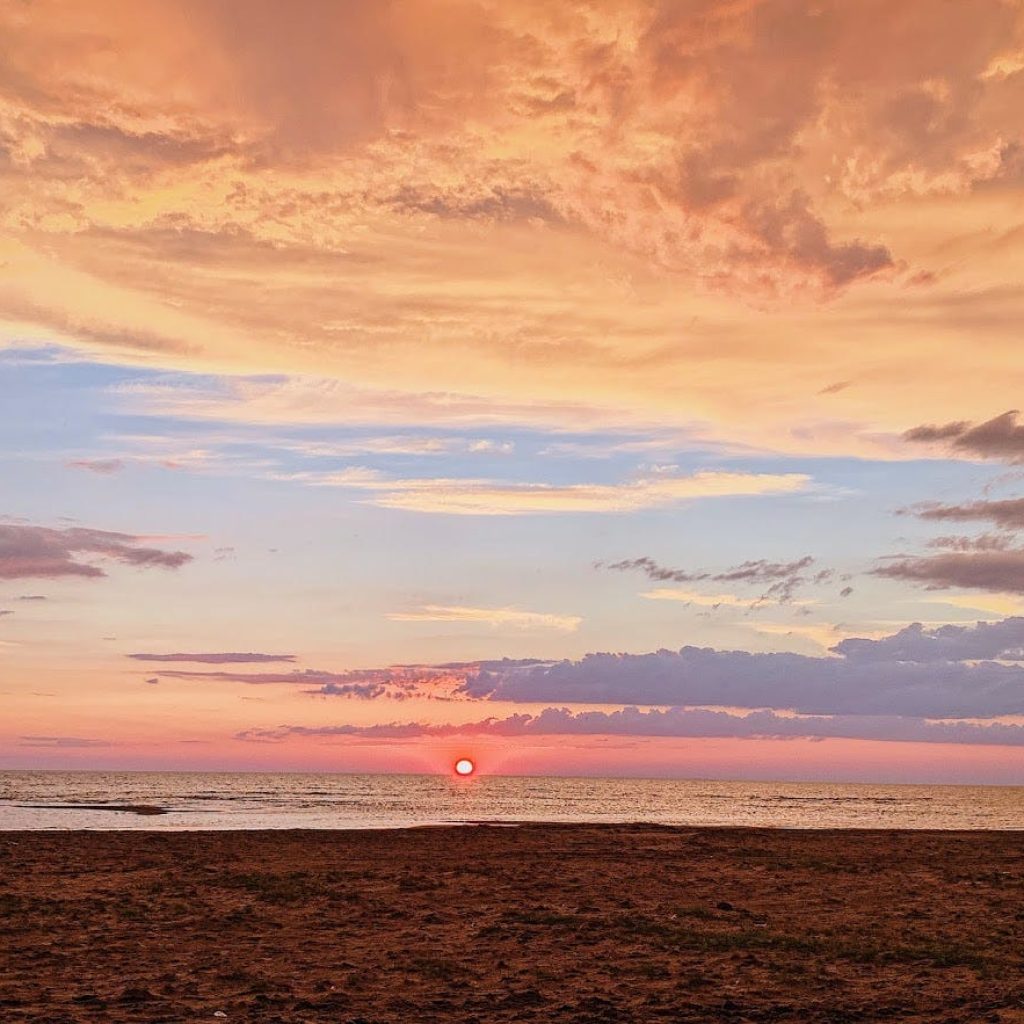
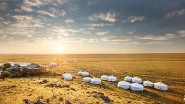
1.Uvs Lake
The name Uvs Nuur (sometimes spelled Ubsa Nor or Ubsunur) derives from subsen, a Turkic/Mongolian word referring to the bitter dregs left behind in the making of airag (Mongolian fermented mare milk drink), and nuur, the Mongolian word for lake. The name is a reference to the lake's salty, undrinkable water. In one Mongolian folk tale a character named Sartaktai, known for digging wondrous canals and setting courses for rivers, tries to connect Uvs lake to another nearby lake by digging a canal between them.
Geography:
Geography:
- Uvs Lake has a length of 84 km and a width of 79 km, with an average depth of 6 m.
- Its basin is separated from the rest of the Great Lakes Depression by the Khan Khökhii ridge; however, it is not a rift lake as some mistakenly think.
- The very large catchment area with no exit results in highly saline water, primarily due to sulphate and sodium ions.
- It has a salinity of 18.8 ppt, or 1.88%, making it half as salty as the oceans.
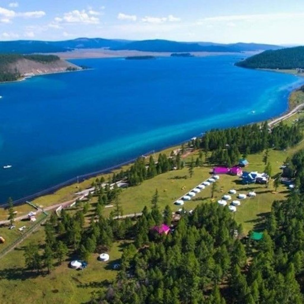
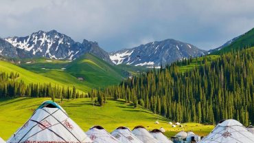
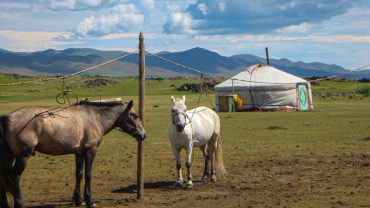
2. Khuvsgul Lake
Lake Khövsgöl (Mongolian: Хөвсгөл нуур, romanized: Hövsgöl núr) is the largest freshwater lake in Mongolia by volume and second largest by area after Uvs Lake. It is located near the northern border of Mongolia, about 200 km (124 mi) west of the southern end of Lake Baikal
Geography:
Geography:
- Lake Khuvsgul is located in the northwest of Mongolia near the Russian border, at the foot of the eastern Sayan Mountains
- It is 1,645 metres (5,397 feet) above sea level, 136 kilometres (85 miles) long and 262 metres (860 feet) deep.
- It is the second-most voluminous freshwater lake in Asia, and holds almost 70% of Mongolia's fresh water and 0.4% of all the fresh water in the world.[1] The town of Hatgal lies at the southern end of the lake.
- Khuvsgul is one of seventeen ancient lakes in the world, being more than 2 million years old, and the most pristine (apart from Lake Vostok), as well as being the most significant drinking water reserve of Mongolia.
- Its water is potable without any treatment.
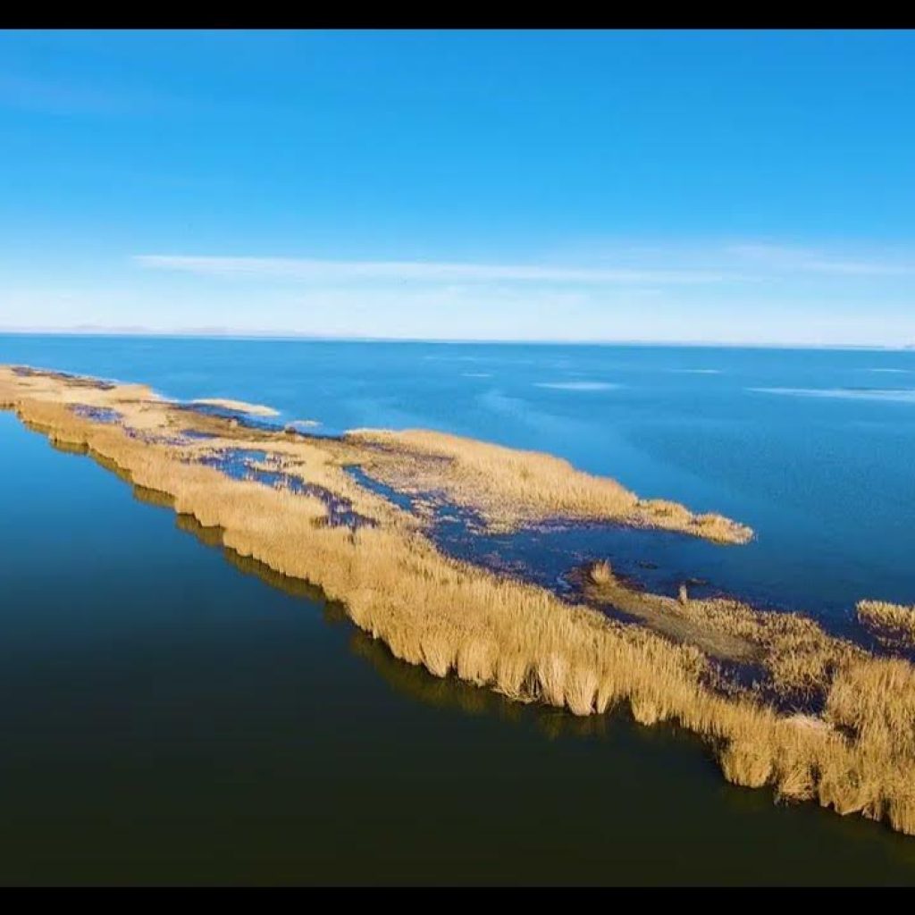
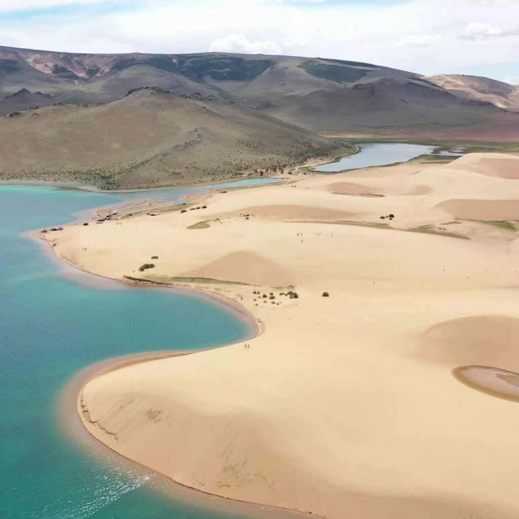
3.Khar-Us Lake
Khar-Us Lake is a freshwater lake in the depression of the Great Lakes of Western Mongolia. The lake is one of the four lakes in Mongolia with an area of more than a thousand square kilometers.It is surrounded by the Mongolian Altai Mountains.
Geography:
Geography:
- The depression of the Black-Us Lake has a tectonic origin, but due to drying up, the shores have become a slope, and reeds have grown densely in the coastal strip.
- There are more than 10 small and large islands in Kha-Us Lake, the largest of which is Agvash Island, about 30 km long with an area of 274 km², and 272 m above sea level. It divides Kha-Us Lake into two unequal parts: north and south.
- These two parts will be connected by two 1.2-2.0 meters deep, 50-100 meters wide and more than 20 kilometers long pipes called Lun and Yum.
- 4 species of fish of 2 genera have been recorded in the vicinity of Black Water Lake.
- These fish species have a unique adaptation to live in both fresh and salt water, and Mongolian grayfish (Thymallus brevirostris) and Altai sugas (Oreoleuciscus potanini) are important for hunting.
4.Khyargas Lake
Khyargas Lake is a salt lake in Khyargas district, Uvs Province, Western Mongolia.Some sources are using different Khyargas Lake statistics values:
- Water level: 1,035.29 m
- Surface area: 1,481.1 km2
- Average depth: 50.7 m
- Volume: 75.2 km3
The Khyargas Lake National Park is based on the lake. This protected area was established in 2000 and covers about 3,328 km2. It also includes a freshwater Airag Lake.
5.Buir Lake
Buir Lake is a freshwater lake that straddles the border between Mongolia and China. It lies within the Buir Lake Depression. The Chinese city of Hulunbuir is named after both this lake and Hulun Lake, which lies entirely on the Chinese side of the border in Inner Mongolia. In 1388, Ming forces under Lan Yu won a major victory over the Northern Yuan on the Buir Lake region. Northern Yuan ruler Tögüs Temür tried to escape but was killed shortly afterwards.
- Length: 40 km
- Width: 20 km
- Area: 610 km²
- Average depth: 6.5m
- Deepest point: 11m
- Water volume: 3.8 km³
- Water retention time: 1.7 years
- Cotton level: 583 m
6.Black Lake (Khovd)
Black Lake is a lake in the depression of the Great Lakes of western Mongolia. It will be connected to Durgan Lake in the south by a pipeline. On the west and north-west side, mountains like Gezeg Dhal, Gezeg Khairkhan, Chandman, and Tavan Khar continue to Chono Kharaikh River and separate Kha-Us Lake from Khar Lake.
- Length: 37 km
- Width: 24 km
- Area: 562.2 km²
- Average depth: 4.14 m
- Deepest point: 7 m
- Water volume: 2.43 km³
- Water retention time: 1.7 years
- Cotton level: 1134.08 m
- Freezing period: 12 months - 4 months
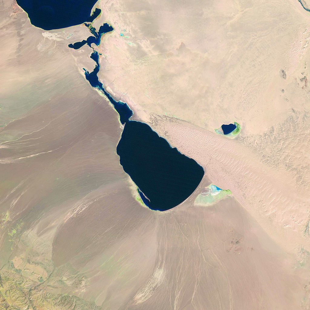
7. Durgan Lake
Durgan Lake is a salt lake in the depression of the Great Lakes of Western Mongolia. The shore of this lake, which is adjacent to the Black Lake, is more barren than other lakes, and it is 50-100 meters higher than the north-eastern side of the lake. Dunes of Baga Lake cover the bottom of the lake by pushing their sand and water deep. On the west side of the lake, the Tavan Khar tal, which is the back of the Jargalant Khairkhan mountain, the branch of the Altai, is covered with Gobi gravel.
- Width: 18 km
- Area: 311 km²
- Average depth: 14.3 m
- Water volume: 4367 km³
- Cotton level: 1132 м
Comment (0)